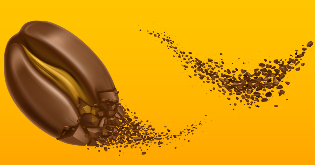
Think of it like tracking the origin of your favorite coffee beans. The EU Deforestation Regulation (EUDR) ensures that products like coffee, soy, or palm oil entering the EU aren’t linked to deforestation. To prove this, operators need to trace products back to the exact plots of land where they were grown. By collecting geographic coordinates, businesses can confidently say, “This product is from a deforestation-free zone.”
Operators need to submit these coordinates as part of a due diligence statement in the EU’s Information System (IS). This ensures transparency. Imagine capturing a photo on your phone that includes the exact location and timestamp—similar tech is used here but with more precision, like satellite images or GNSS devices.
You don’t need fancy equipment. Mobile phones, handheld GNSS devices, or free Geographic Information System (GIS) apps work perfectly. These tools don’t even require mobile networks—just a strong GNSS signal, like Galileo.
Example:
Think of a cocoa farm in Ghana. If it’s over 4 hectares, operators need to map out the farm’s borders using six decimal points of latitude and longitude. For a smaller coffee farm in Colombia under 4 hectares, a single coordinate will do.
By collecting and submitting this data, businesses show they care about sustainability and are meeting EUDR’s requirements. It’s a win-win: protecting forests and ensuring market access!
No, the EUDR doesn’t set a strict minimum or maximum size for plots of land. Instead, it focuses on ensuring that the area captured is specific to the production site and reflects consistent conditions, like soil type and land use. This allows for accurate risk assessment for deforestation and forest degradation.
For example, if you’re mapping a coffee plantation, the polygon should cover the actual area where the coffee plants are grown, ensuring it represents a clear picture of the plot.
There’s no restriction on the size of polygons uploaded into the system, but the total file size of your due diligence statement (DDS) can’t exceed 25 MB.
Example:
If you’re mapping a small cocoa farm under 4 hectares, a single GPS point suffices. But for a larger rubber plantation, you’ll need to outline the boundaries using a polygon. Similarly, if you’re exporting beef, you’d provide the geolocation of the farm where the cattle were raised rather than mapping the entire grazing area.
This flexibility balances precision with practicality, ensuring that businesses can comply without unnecessary complications.
The EU Information System has been designed to make life easier for businesses submitting geolocation data. You’ll need to upload polygons in digital format as part of your due diligence statement.
Currently, the system supports GeoJSON file format with a WGS-84 (EPSG-4326) projection—essentially a widely recognized global standard for geospatial data.
Think of it like using a common image file format like JPEG for photos, but in this case, it’s a specific format for mapping coordinates.
The system is evolving. The EU Commission is working on an implementing act to refine the process and ensure it’s user-friendly. Stakeholders will be consulted, and updates will be shared via the Multi-Stakeholder Platform on Protecting and Restoring the World’s Forests and on the EU Commission’s website.
In the future, expect even more formats and functionalities based on user feedback—so keep an eye out for updates!
No need to worry! Farmers can still provide the geolocation data for their plots, even if the land isn’t in a property register or they don’t have formal IDs or titles. The EU Regulation doesn’t require personal information from farmers unless they are direct suppliers or operators. Just the geolocation of the plot used to supply commodities is enough.
Example:
Let’s say you’re sourcing coffee beans from smallholder farmers in a rural area without formal land titles. The farmers can use a GPS device or mobile app to mark their plot’s geolocation and share it with you. No property register? No problem, as long as the farmers are legally allowed to sell their products under local laws.
Here are some practical approaches:
Map suppliers directly: Use tools like satellite imaging or field visits to identify geolocations.
Work with intermediaries: Collaborate with cooperatives, certification bodies, or national traceability systems to collect legality and geolocation information.
Real-world example:
A chocolate manufacturer sourcing cocoa from West Africa relies on cooperatives to map supplier plots. They double-check legality by ensuring the cooperatives follow local laws. This way, they meet the Regulation’s requirements while building trust with farmers.
The key is ensuring accurate geolocation and legality data, no matter the method or intermediary you choose.
Yes, you can! However, as the operator, you are fully responsible for ensuring the data’s accuracy—not the producer. If the producer doesn’t directly sell products to the EU market, they aren’t bound by the Regulation. The responsibility falls on you to ensure the geolocation matches the actual plot of land where the commodity was produced.
Example:
Imagine you’re sourcing soybeans from a smallholder farmer in Brazil who provides GPS coordinates for their plot. While the farmer gives you this data, you’re responsible for confirming it accurately maps the land used for production.
A coffee exporter sourcing beans from small farms in Colombia helps farmers with mobile mapping apps to ensure accurate plot geolocation. The exporter also cross-verifies the data with satellite tools and supports farmers with training sessions. This ensures compliance with the Regulation while strengthening farmer relationships.
Bottom line: You can use producer-provided geolocation data, but make sure you go the extra mile to confirm its accuracy and build trust in your supply chain.
Absolutely! As an operator or a trader (if you’re not an SME), you’re responsible for verifying and proving that the geolocation data you provide is accurate. Incorrect or misleading geolocation details could land you in hot water, breaching the Regulation’s requirements.
Geolocation data ensures that the products you’re placing on the EU market are sourced from areas that comply with deforestation-free and legality requirements. It’s about building trust and maintaining compliance.
A palm oil trader in Malaysia uses satellite monitoring and AI-powered platforms to validate that the plantations they source from are compliant. They also run spot checks with drones and hire local auditors to verify plots on-site.
Bottom line: Verifying geolocation isn’t just a box to tick—it’s a safeguard for your business, ensuring compliance, sustainability, and credibility in global markets.
No, each polygon should represent a single plot of land, even if the land is not contiguous. If a relevant product is made from commodities sourced from multiple plots, you must provide a separate polygon for each plot in your due diligence statement.
Example:
Let’s say you’re sourcing cocoa from multiple farms in Ghana. If one farm has three separate parcels of land, each parcel would need its own polygon to represent its exact location. So, you would submit three different polygons for the three parcels, even if they are all part of the same farm.
You can’t use one polygon to describe several plots, as it won’t accurately trace the exact boundaries of the land where the commodity was grown. This could lead to inaccuracies and potential non-compliance with the Regulation.
A palm oil trader sourcing from different plantations must submit a separate polygon for each plantation. Even if two plantations are close to each other, they need their own polygons because they are distinct plots of land.
Bottom line: Each polygon should represent one plot of land, and if your product is sourced from multiple plots, each one needs its own polygon in your due diligence statement.


We use cookies on our website to give you the most relevant experience by remembering your preferences and repeat visits. By clicking “Accept All”, you consent to the use of ALL the cookies. However, you may visit "Cookie Settings" to provide a controlled consent.
| Cookie | Duration | Description |
|---|---|---|
| cookielawinfo-checkbox-analytics | 11 months | This cookie is set by GDPR Cookie Consent plugin. The cookie is used to store the user consent for the cookies in the category "Analytics". |
| cookielawinfo-checkbox-functional | 11 months | The cookie is set by GDPR cookie consent to record the user consent for the cookies in the category "Functional". |
| cookielawinfo-checkbox-necessary | 11 months | This cookie is set by GDPR Cookie Consent plugin. The cookies is used to store the user consent for the cookies in the category "Necessary". |
| cookielawinfo-checkbox-others | 11 months | This cookie is set by GDPR Cookie Consent plugin. The cookie is used to store the user consent for the cookies in the category "Other. |
| cookielawinfo-checkbox-performance | 11 months | This cookie is set by GDPR Cookie Consent plugin. The cookie is used to store the user consent for the cookies in the category "Performance". |
| viewed_cookie_policy | 11 months | The cookie is set by the GDPR Cookie Consent plugin and is used to store whether or not user has consented to the use of cookies. It does not store any personal data. |
WhatsApp us
Get the free TraceX Playbook — 10 traceability failures to fix before your next audit, a 10-point maturity scorecard.
Don’t miss out on your chance to grab access to our early bird offer!

Your essential compliance guide

